REAL ESTATE
Perfect for Everyone
Like every other industry, the Real Estate market has gone through some changes - most notably the way property is being advertised and sold.
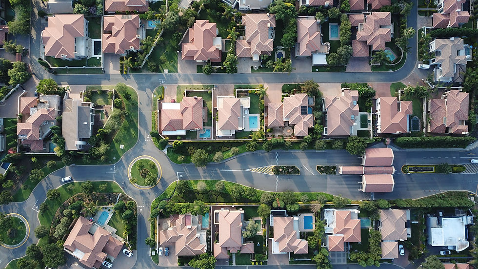
At DRONE 9JA we offer you (and your clients) not only views from around and inside the house but also high resolution aerial shots of the property and its surroundings. With an eye for details, we know which angles and distances to keep when getting the most favourable and most charming views from properties.
Services Offered
On the Real Estate Menu
DRONE 9JA offers numerous services, and no matter which you choose, we will strive to create a tailor made solution for all of your projects. For more solutions and services on offer kindly also check over on our CONSTRUCTION page, thank you.
Virtual Tours
Explore an Estate Virtually
Quite often it is not always possible to get an overall impression of a place by merely looking at pictures. With the help of a virtual tour you are able to have a look and walk around and take a step closer to the objects you see. For any size estate you can pass through every space - room by room. And the best thing about it all, is that you can do all of this on the screen of your computer or a smartphone - from the comfort of your home!
Image Videos and Pictures
Picture Perfect
Property does not sell itself and in a competitive market presentation is key. Not only for large hotels and restaurants, but also real estate benefits from image videos, well captured images and 360° tours.
From small businesses to world-famous companies, we offer our unique and tailor made solutions to present your property in the most attractive way.
Land Surveys
Perfect for Everyone
Land Surveys are a particular speciality of DRONE 9JA, and a must-have if you are looking to take full advantage of your plot. Be it in the early planning stages, mid planning or during the completion stages - when accuracy is married together with other innate advantages, drones become a very attractive proposition for any aerial survey.
Drones are the ideal tools to capture data in compromised, dangerous or sensitive environments, with minimal risk to the surveying drone operator, the public or any equipment. All data is captured easily from the air, with limited health and safety concerns. This in turn reduces planning time and negates the need for extensive health and safety considerations, providing a quicker turnaround for the project as a whole.
Thanks to the flexibility of drones, very large areas of land can be covered in a short amount of time. Before embarking on a project, our pre-planned flightpaths also contribute to the sheer speed a drone survey can be completed in. This reduces time taken from initial planning, thus reducing costs and ensuring customer satisfaction for your projects. For more solutions and services on offer kindly also check over on our CONSTRUCTION page, thank you.
Aerial shots are becoming almost mandatory when it comes to presenting property and real estate. These shots give the potential buyer or client a great overview and idea of the property in relation to the area. However, the most important aspect is still the interior of a house, building, office space or apartment - as we tell all our clients.
Contact us to find out how we can help you improve and place your property on top of the real estate and interior design game
Contact
DRONE 9JA
Lagos, Nigeria
Tel.: +234 701 1969 4 52
Email: drone.9ja@gmail.com
EUROPE
Tirol, Austria
Tel.: +43 52 42 6 23 52
Fax: +43 52 42 7 23 10
%20MERGED%20slogan.png)


